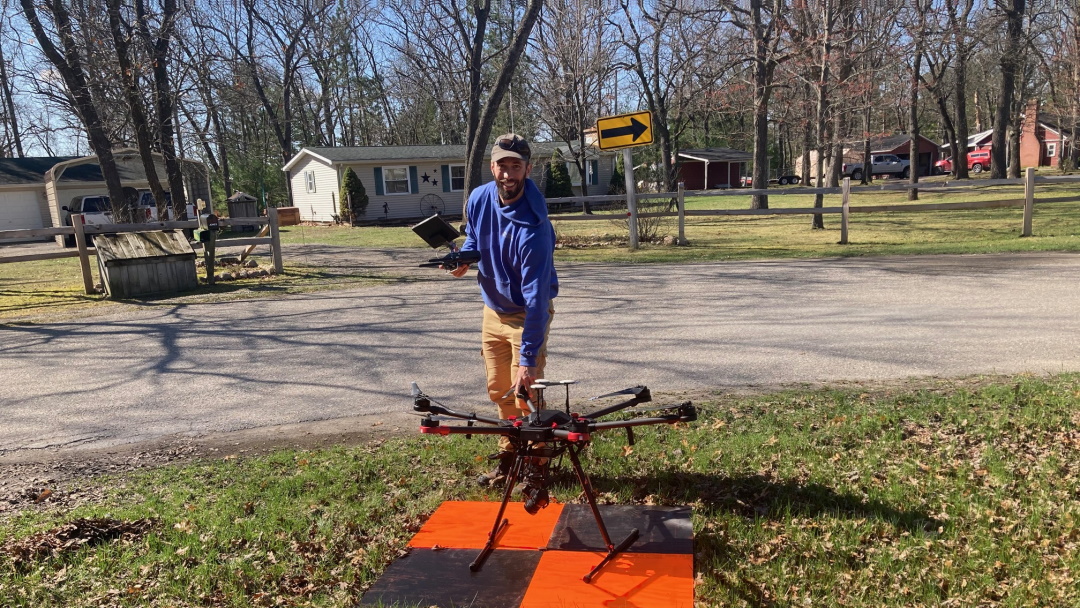
Aerial Drone Photogrammetry
Affiliated Researchers utilized its aerial drone technology to support a local landowner in mapping his 545-acre resort. Our FAA licensed commercial drone pilot flew the drone over the entire property, captured georeferenced aerial photographs, and developed full-sized, color, image mosaic to be displayed at the resort’s main lobby.