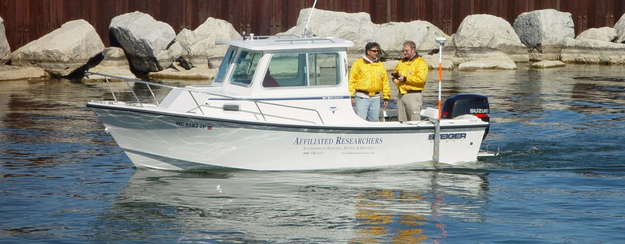
Single-Beam Sonar Bathymetry
Specializing in precision environmental mapping, AFFILIATED RESEARCHERS utilizes advanced hydrographic instruments and software to provide single-beam bathymetric mapping of lakes, harbors, rivers, canals, estuaries, and marine environments.
AFFILIATED RESEARCHERS collects single-beam sonar data in accordance with established methods and protocols set forth by the US Army Corps of Engineers with better-than accuracy criteria.
AFFILIATED RESEARCHERS’ team of Scientists and Technicians utilize hydrographic software with onboard computers to interface RTK-GPS survey instruments with a survey-grade echosounder, to collect centimeter-accurate bathymetric data. Hydrographic software is used to develop the bathymetric data into contour drawings and other deliverables.
Our deliverables are provided in various formats to enable convenient data sharing and include geo-referenced backgrounds such as of orthographic aerial photographs, engineering plans, land surveys, lidar topography, and other databases to show information relevant to the project.
AFFILIATED RESEARCHERS provides its high quality services nationwide and throughout the US Territories.
