Sampling and Mapping of PFAS and other Contaminants
AFFILIATED RESEARCHERS’ Scientists utilize recognized methods and advanced technologies to conduct sampling and mapping of polyfluoroalkyl substance (PFAS) and other contaminants within lakes, harbors, rivers, canals, estuaries, and marine environments. Our Scientists and Technicians are proficient with the special procedures and established protocols for projects involving PFAS.
AFFILIATED RESEARCHERS conducts vibracore sediment sampling needed to evaluate grain size and document the occurrence of PFAS and other contaminants.
AFFILIATED RESEARCHERS utilizes its high-resolution sub-bottom profiler system to penetrate the clay, sand, and gravel substrates beneath a body of water to map the stratigraphy to map the sub-terrain conveyance of contaminated groundwater.
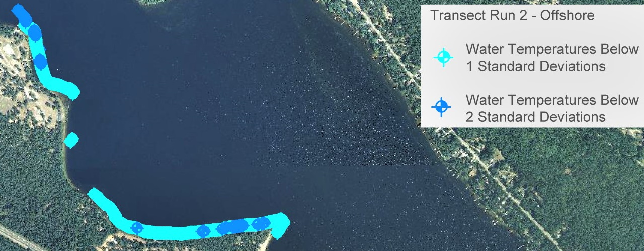
Where applicable, AFFILIATED RESEARCHERS utilizes highly-sensitive sensors and advanced software to integrate GPS positioning of in situ water quality data. Tens-of-thousands of data sets are collected while navigating the marine/aquatic environment to map contaminated groundwater seeps.
