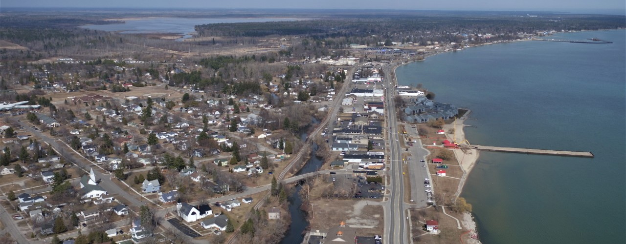
Aerial Drone LiDAR and Photogrammetry
AFFILIATED RESEARCHERS utilizes advanced commercial aerial drone technology and FAA licensed Technicians to provide LiDAR and photogrammetry mapping over a range of environments and applications.
AFFILIATED RESEARCHERS’ drone is supported by RTK-GPS technology to enable ultra-high resolution survey-grade deliverables, including:
· LiDAR digital terrain models
· Topographic contours
· Photogrammetry mosaics
· Topographic contours
· Photogrammetry mosaics
· Property photography
· Property mapping
· Thermal imagery
· Property mapping
· Thermal imagery
AFFILIATED RESEARCHERS provides its high quality services nationwide and throughout the US Territories.
