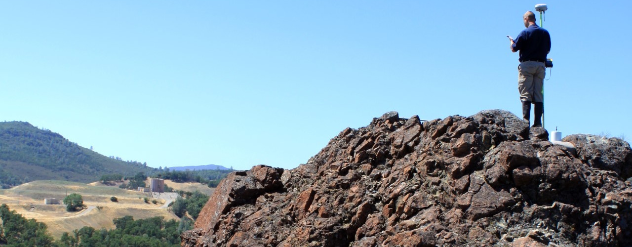
RTK-GPS Topography & Features Surveying
Whether mapping municipal infrastructure or endangered plant species, AFFILIATED RESEARCHERS’ Scientists and Technicians utilize RTK-GPS survey equipment and software to provide fast and accurate mapping of topography and land features of urban, rural, and natural environments.
AFFILIATED RESEARCHERS has provided its RTK-GPS topography and features surveying services to government agencies, municipalities, planners, land developers, engineering firms, conservation groups, and environmental consulting firms.
We provide our services nationwide and throughout the US territories.
