AFFILIATED RESEARCHERS conducted pre- and post-construction sediment transport investigations, bathymetric mapping, dredge volume calculations, and water quality sampling on the Licking River, Kentucky, as part of a USFWS Habitat Conservation Plan for the conservation...
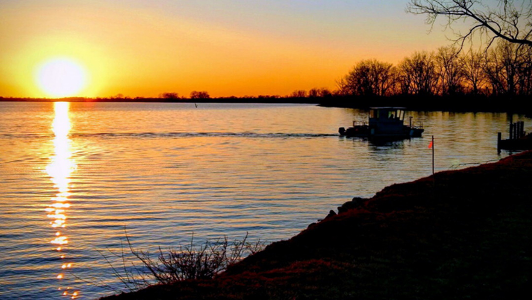
Affiliated Researchers conducted Acoustic Doppler Current Profiling (ADCP), bathymetric mapping, sub-bottom profiling, and vibracore sediment sampling in Muddy Creek Bay, Sandusky, Ohio. These services were necessary to provide an accurate characterization of the...
AFFILIATED RESEARCHERS conducted pre- and post-construction sediment transport investigations, bathymetric mapping, dredge volume calculations, and water quality sampling on the Licking River, Kentucky, as part of a USFWS Habitat Conservation Plan for the conservation...
Affiliated Researchers conducted Acoustic Doppler Current Profiling (ADCP), bathymetric mapping, sub-bottom profiling, and vibracore sediment sampling in Muddy Creek Bay, Sandusky, Ohio. These services were necessary to provide an accurate characterization of the...