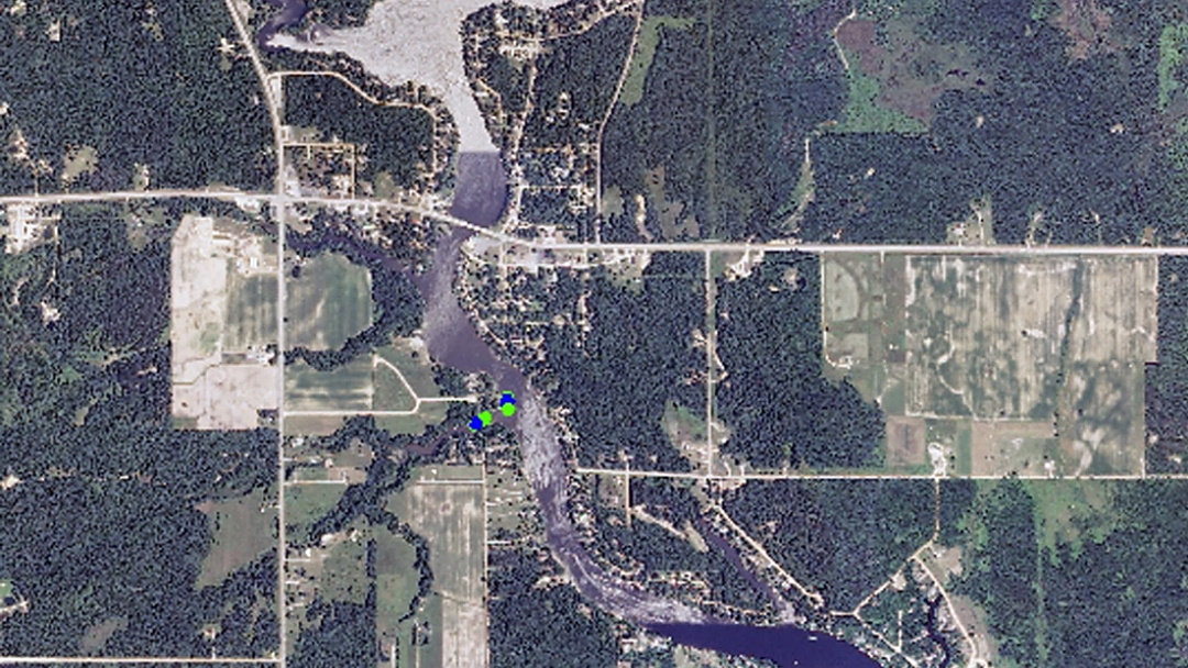
AFFILIATED RESEARCHERS conducted water quality mapping with GPS-enabled water quality sensors at the Tittabawassee River in Michigan as part of Federal Energy Regulatory Commission (FERC) licensing...
AFFILIATED RESEARCHERS conducted pre- and post-construction sediment transport investigations, bathymetric mapping, dredge volume calculations, and water quality sampling on the Licking River, Kentucky, as part of a USFWS Habitat Conservation Plan for the conservation...
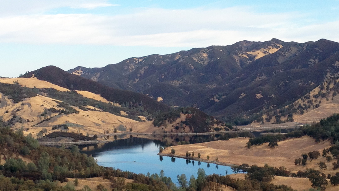
Affiliated Researchers collected multi-beam sonar bathymetric data within the cooling reservoir for a Nuclear Power Plant to help determine the total storage capacity and existing sediment conditions. Our Team followed USACE protocols, and utilized a shallow-water...
Affiliated Researchers’ trained field staff provided support to Scientists conducting pore-water sampling in the nearshore environments of Lake Michigan. Our staff is very adaptable and each new project is seen as an opportunity to advance our...
Affiliated Researchers’ provided bathymetric mapping for pre- and post-dredging activities at Black River in Lorain, OH. Affiliated Researchers performs its bathymetric services in accordance with USACE hydrographic standards and follows additional QAQC protocols...
AFFILIATED RESEARCHERS conducted water quality mapping with GPS-enabled water quality sensors at the Tittabawassee River in Michigan as part of Federal Energy Regulatory Commission (FERC) licensing...
AFFILIATED RESEARCHERS conducted pre- and post-construction sediment transport investigations, bathymetric mapping, dredge volume calculations, and water quality sampling on the Licking River, Kentucky, as part of a USFWS Habitat Conservation Plan for the conservation...
Affiliated Researchers collected multi-beam sonar bathymetric data within the cooling reservoir for a Nuclear Power Plant to help determine the total storage capacity and existing sediment conditions. Our Team followed USACE protocols, and utilized a shallow-water...
Affiliated Researchers’ trained field staff provided support to Scientists conducting pore-water sampling in the nearshore environments of Lake Michigan. Our staff is very adaptable and each new project is seen as an opportunity to advance our...
Affiliated Researchers’ provided bathymetric mapping for pre- and post-dredging activities at Black River in Lorain, OH. Affiliated Researchers performs its bathymetric services in accordance with USACE hydrographic standards and follows additional QAQC protocols...